KAIST AI restores cloud-covered satellite views, in preprint
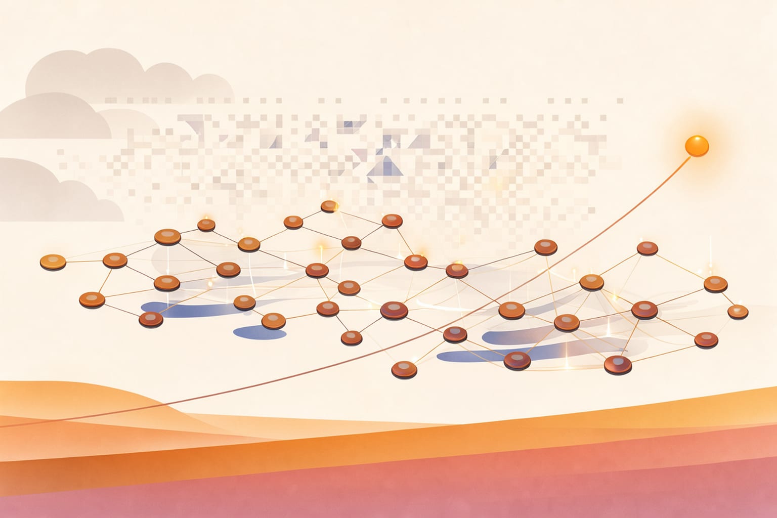
A satellite looks down at a city under a grey lid of cloud, and the ground underneath is simply gone. That is the everyday problem the KAIST team set out to solve. Optical images record sunlight bouncing off the Earth's surface, so thick cloud or darkness erases what is below. Radar could see through both, but its pictures, built from radio waves bounced back from the ground, differ so much in brightness and pattern from ordinary photographs that they are hard to read.
The research team, led by professor Munchurl Kim of the School of Electrical Engineering at KAIST, built GeoCore-9B to handle both problems with one model. Its core image-generating component adjusts about 9 billion parameters, the internal values it tunes during training. The model is pretrained on a large volume of satellite data and then adapted to specific jobs, which is why it is classed as a "foundation model", a base on which many applications can be built. Rather than borrowing a component designed to produce everyday photos, the team trained a new model from scratch on overhead views of terrain, forests, ports and cities.
The training data is the unusual part. The team used 10 million pairs of satellite images and written descriptions, such as a port with ships and warehouses, or a rural scene with a road running between fields. They also fed the model latitude, longitude and ground sample distance, the size of ground covered by one pixel. The researchers note that a shape alone does not tell you whether it is a small building or a large plant, so the model must know where and at what scale an image was taken. In one example, a 256-pixel-wide image covers about 256 meters at 1 meter per pixel, and about 8.2 kilometers at 32 meters per pixel. A further technique, called Geospatial Semantic Alignment, uses features from an AI specialised in satellite imagery during training to help the model learn how roads connect and where farm boundaries lie; that helper is not used when images are generated.
The model was then fine-tuned separately for two tasks: removing clouds and converting radar images into photo-like views. The preprint, posted to arXiv, presents these as the model's capabilities. The figures available for this article do not include quantitative benchmarks for either task, and the work has not been published in a peer-reviewed journal. Its illustrations are conceptual and do not show a live satellite network.
What changes if this holds up? For disaster teams, a cloud-free view of a flooded valley or a burning forest is worth a great deal, and a radar image that looks like a photograph can be read by people who are not radar specialists. The authors expect wider use of satellite data in disaster response and environmental monitoring. No date, partner or product has been announced: for now, the gain is a research direction, and it will need independent testing on real satellite data before anyone can rely on it.
Comments
Loading the thread…
Sign in to leave a comment. Sign in