Drones Help Spot Thawing Permafrost Under Arctic Towns
From the air, Wainwright, Alaska, looks like a stable band of homes and roads between the Chukchi Sea and a vast, flat tundra. Beneath the surface, the frozen ground the town sits on holds large bodies of ice. Along the eroding coastal bluffs, that hidden ice is being exposed and melting away. In Utqiaġvik, a bluff partly collapsed in 2023 and 2024, bringing its eroding edge close to roads and buildings.
Permafrost is ground that stays at or below 0 degrees Celsius for at least two consecutive years. Arctic temperatures are rising two to three times faster than the global average. When the ice inside that ground melts, the ice that bonds soil particles weakens, the soil can sink, and the weight of homes and roads pushes it down further. Roads can sink, buildings can tilt, and pipelines can crack and leak. The process is highly uneven: locations a city block apart can hold very different amounts of ice.
Finding that unevenness is the hard part. Drilling dense grids of boreholes is expensive, disruptive and extremely labor intensive. The research team is working on a different route, very low frequency electromagnetic surveying, or VLF-EM, which picks up signals from distant transmitters and measures how the ground responds. Because the sensor does not touch the ground, a lightweight unit can be carried by a drone over wetlands and tundra that are susceptible to thawing. The contrast is what matters: salty water that stays unfrozen conducts electricity far better than ice-rich ground, so thawed patches show up. The method does not produce a perfect picture, and depth estimates can be uncertain, but it shows where conditions have changed so engineers know where to look closely.
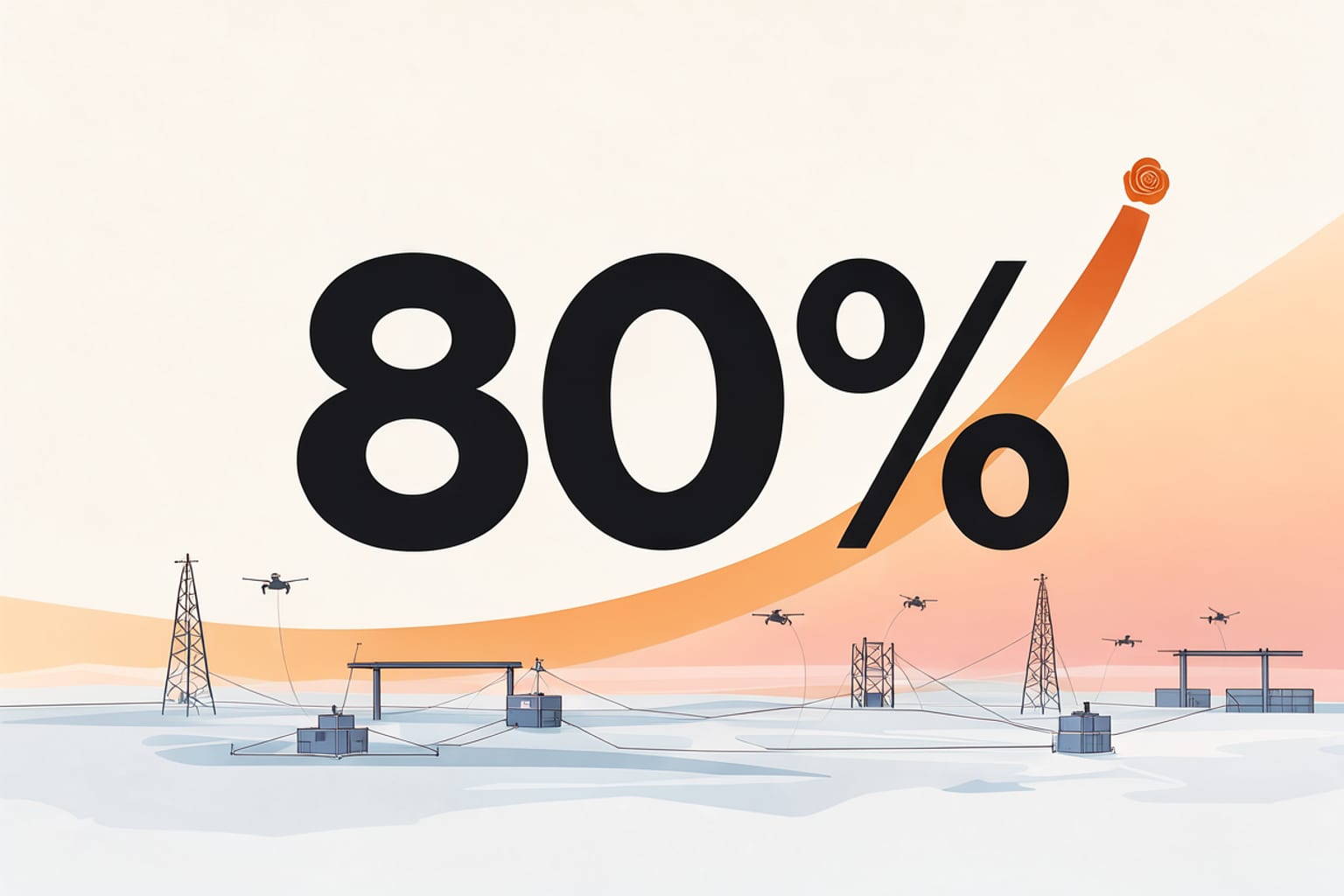
Infrastructure may stay in service for 20, 50 or more years, so a map of today's ground is not enough. The group has been working on projections of two things engineers need: how much the ground settles, and how much load a foundation can carry. In a 2026 study covering Alaska's Arctic Coastal Plain, which includes Prudhoe Bay and much of the state's oil industry, the researchers found that if greenhouse gas emissions stay high and temperatures keep climbing quickly, the share of infrastructure at risk stays below 10% around mid-century, then rises rapidly between the 2060s and 2080s. By the 2090s, about 80% of buildings, 60% of roads and 90% of pipelines are projected to be at risk of damage from sinking land. The team is also developing digital twins, computer models that replicate changing cold-region environments and aging infrastructure.
Engineers choosing where to put a foundation, a road or a pipeline gain first, and so do coastal towns such as Wainwright and Utqiaġvik, where the ground is already moving. What changes is the order of work: instead of sampling everywhere, crews can fly a drone over the terrain and go to the spots where the ground has changed. The researchers give no date for when such surveys will become routine, and no cost estimate. Depth remains the open question.
Comments
Loading the thread…
Sign in to leave a comment. Sign in